


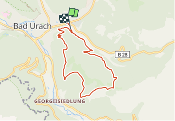

4,5 km | 5,2 km-effort

Tous les sentiers balisés d’Europe GUIDE+


Aplicación GPS de excursión GRATIS
 SityTrail
IGN / Institutos geográficos
SityTrail World
El mundo es suyo
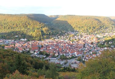
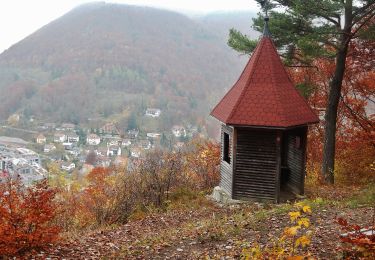
Ruta A pie de 7,5 km a descubrir en Baden-Wurtemberg, Landkreis Reutlingen, Bad Urach. Esta ruta ha sido propuesta por SityTrail - itinéraires balisés pédestres.
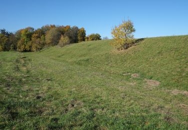
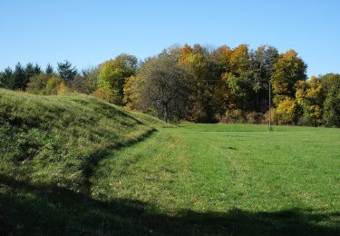
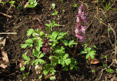
Die Grafensteige: fünf traumhafte Rundwanderwege im Albtraufbereich, die zu den Naturschönheiten der Schwäbischen Alb führen.


A pie

A pie
A pie
A pie
A pie
A pie
A pie
A pie
A pie